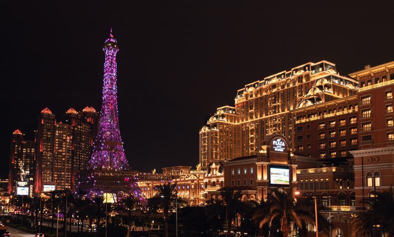
Macau: Portuguese heritage and the city of the future
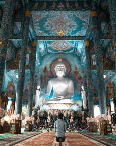
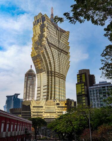
Churches, temples, casinos, and contemporary architecture coexist in Macau, a city in China’s Pearl River Delta that is evolving while preserving its identity.
Its source lies in the Lake Victoria region, in present-day Uganda, within a vast equatorial basin where tectonics, climate, and highly complex river systems converge. The White Nile emerges from the lake at Jinja, the location traditionally identified as its source. From a hydrological perspective, the lake acts as a major regulator of a system fed by multiple tributaries, and the two rainy seasons each year ensure a constant and predictable water supply.
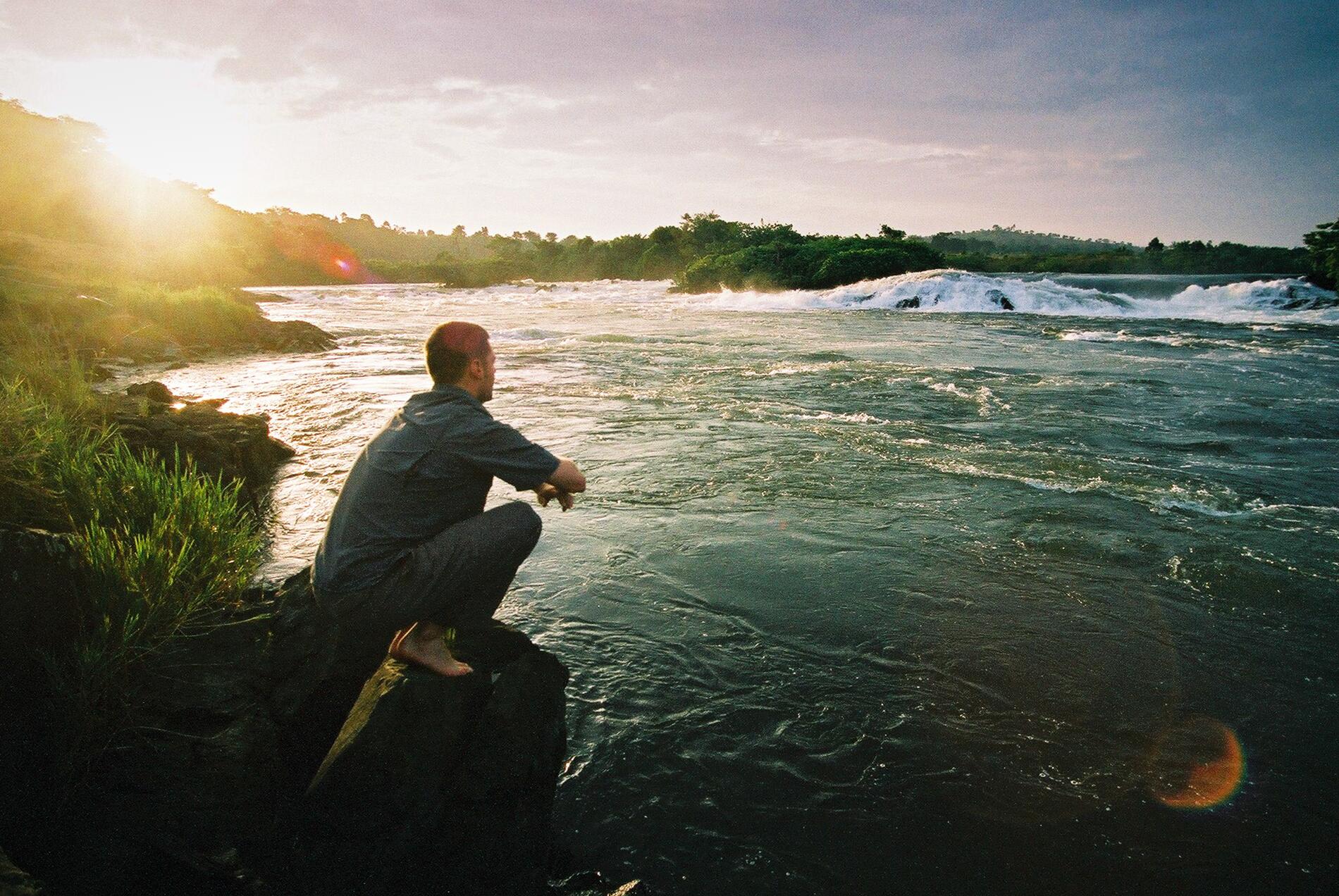
Covering more than 68,000 square kilometers, Lake Victoria functions as a vast natural reservoir. Its storage capacity mitigates seasonal variations and ensures a stable flow that will prove decisive thousands of kilometers to the north. Uganda occupies a strategic position in the western arm of Africa’s Great Rift Valley: tectonic fracturing has shaped a landscape of elongated lakes, steep escarpments, and elevated blocks. The Rwenzori Mountains, which rise to over 5,000 meters in elevation right on the equator, are one of the continent’s most unique examples of fault-induced uplift.
THE MOUNTAINS OF THE MOON
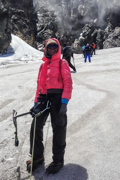
The photo seems impossible: crampons, an ice axe, and snow just a few kilometers from the equator. But the Rwenzori Mountains, on the border between Uganda and the Democratic Republic of the Congo, reach 5,109 meters at Margherita Peak—Africa’s third-highest peak—and are home to one of the continent’s last glaciers.
As early as 150 A.D., the Alexandrian geographer Ptolemy mentioned them in his writings as the legendary Mountains of the Moon, claiming that the Nile originated within them. He wasn’t entirely off the mark: their meltwater feeds the White Nile. In local languages, they are called Rwenjura, which means rainmaker—it rains here about 300 days a year. The problem is that this ancient ice is disappearing. In 1906, there were 43 glaciers; today, barely 20 remain. Some studies estimate that they could disappear completely by around 2030. A World Heritage Site since 1994, the Rwenzori Mountains are also one of the most unusual mountaineering destinations on the planet: only a few hundred people climb them each year.
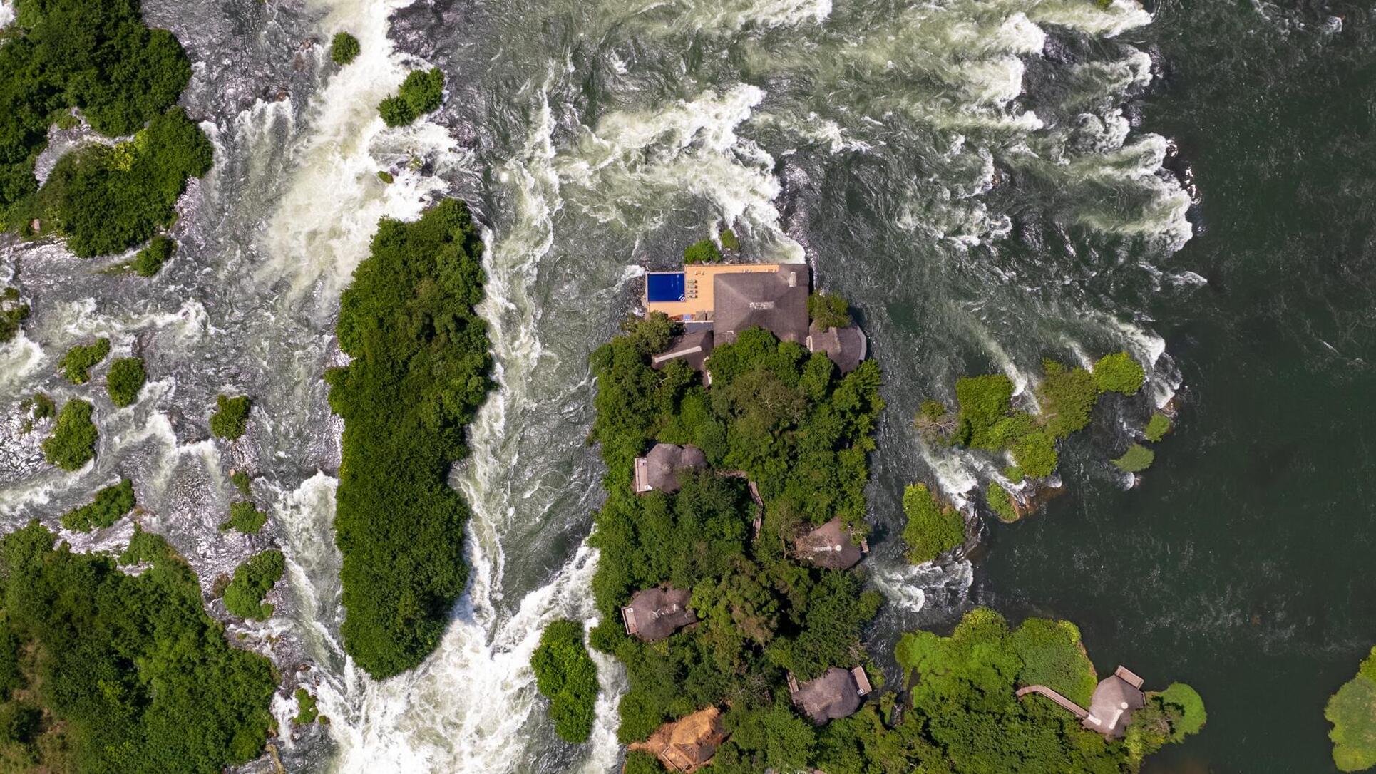
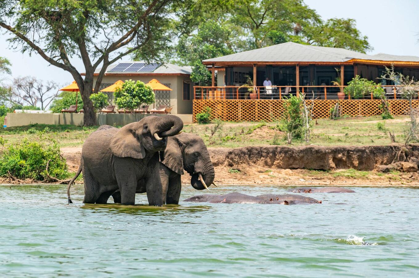
In this section, it passes through rapids, narrows, and waterfalls, including those at Murchison, where the flow is constricted into a gorge before widening again, creating a stretch of great hydraulic power. Further north, in South Sudan, the terrain flattens out and the river spreads out across the Sudd, a vast marshy plain where some of the water evaporates or seeps into the ground, before resuming its flow northward as the main branch of the White Nile.
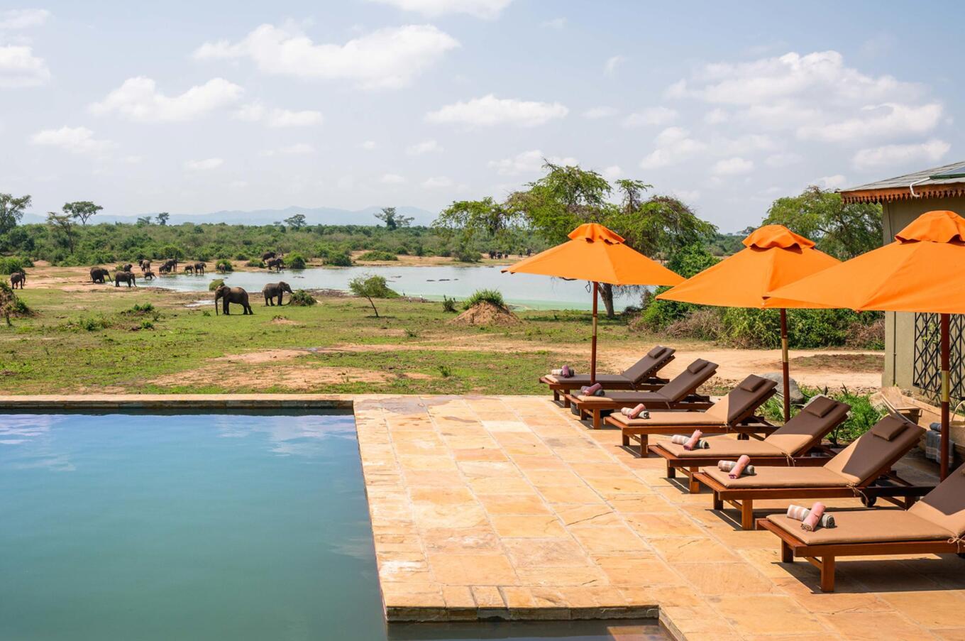
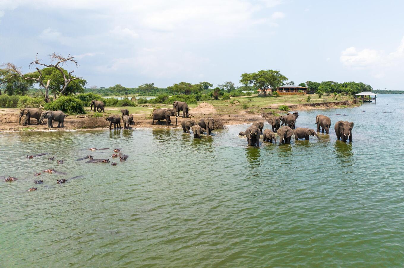
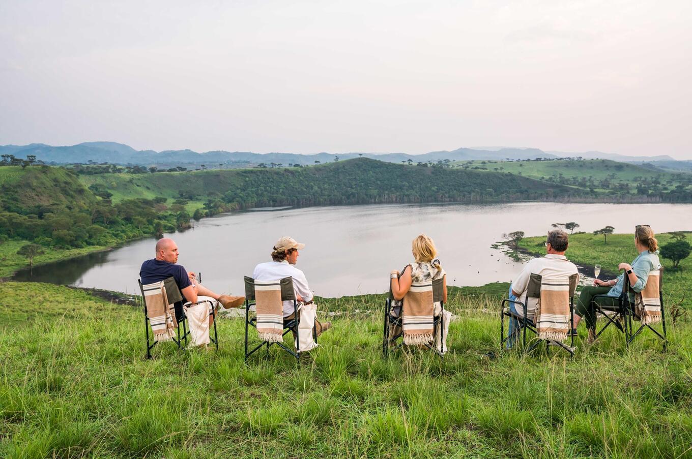

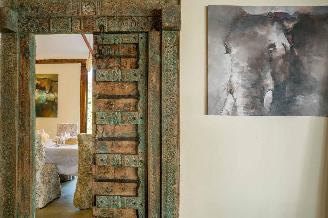
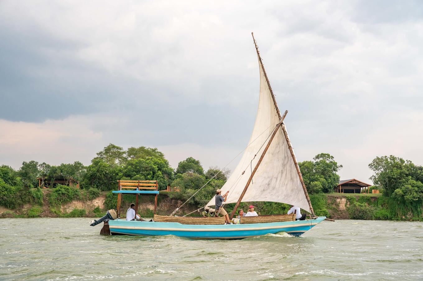
The most significant feature of the Ugandan Nile lies in the transfer of equatorial water to arid regions. The flow that originates here will traverse thousands of kilometers of savannas and deserts before reaching the Mediterranean. This connection between radically different climatic zones constitutes a hydrological singularity of continental scope. Before the Nile took on political or monumental significance, it already existed as an organized physical structure in equatorial Africa. In that humid, high-altitude environment, the conditions were established that would, centuries later, sustain the great state formations that would emerge downstream.